USDA Growing Zones Map of the USA

Learning how to use and read the USDA garden zone map is super helpful for finding your growing zone. You can then go on to find your first and last frost dates which helps in determining the best time to plant. ‘
Read on as we will cover how to read the USDA growing zones map.
The USDA (United States Department of Agriculture) has divided the country into several different growing zones.
The zones are designed to help gardeners determine which plants are most likely to thrive in their climate. Plant hardiness is essential for gardeners to understand for optimum garden results.
The divisions are based on the average annual minimum winter temperature and are divided into new zones each time the average temperature changes by 10 degrees F.
USDA Growing Zones Map: Gardening Zone Numbers
The zones are numbered on the map and range from #1 to #13.
#1 is the coldest climate and has an average annual minimum winter temperature of 50-60 F below 0.
Whereas. #13 is the warmest climate and has an average annual minimum winter temperature of 60-70 F above 0.
When comparing the two opposite growing zones, it’s easy to see why the same plants will not thrive in both of these locations. The temperature variation is far too great for the same plants to thrive.
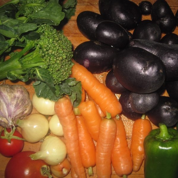
However, some plants thrive in the cold climate of Alaska’s zone 1, like Delphinium, Creeping Jenny, Stinging nettle, and all vegetables that can be started as seeds indoors.
The gardening season is quite short in growing zone 1 and most of the food-producing plants must be started as seeds indoors to have enough summer weather to reach maturity outdoors.
Make sure to check out the top season extenders like frost blankets to help with shorter growing seasons.
Also, make sure to look at teepee plant protectors for tomato and pepper plants.
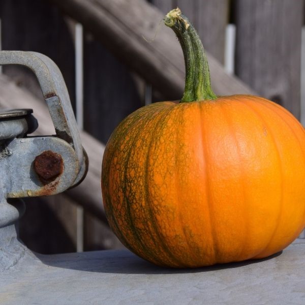
Growing zone 13 is near the equator and plants that tolerate heat like tomatoes, peppers, avocados, sweet acacia, and cool-season crops that can be planted in spring and fall are ideal for this climate.
Use this USDA Plant Hardiness Zone map to help determine your low temperature. You can even add your zip code to the interactive map to help you locate your correct growing zone.

Micro-Climate
But even within the growing zone, there are variations. Some areas of zone 13 are dry while other areas are wet.
These variations are called “micro-climates”. Micro-climate conditions depend on such factors as temperature, humidity, wind, dew, frost, heat, direct sunlight, shade, and evaporation.
Every landscape has micro-climates and they change frequently, based on environmental factors. The only way to determine most of them is through observation.
For example – a frost pocket will be a small patch of land that has morning frost on it when the surrounding land has no frost. A micro-climate could be a low-lying damp spot, a dry spot, or a shady spot in the landscape.
Even though it’s all within the same growing zone, plants will behave differently in certain locations.

Frost Dates
Before you begin planting a garden, you need to know the first and last predicted frost dates for your climate.
This will enable you to plant seeds and seedlings at the right time of year for the best results.
A frost date is the average date of the last frost in spring or the first frost in fall or winter.
Frost occurs when air temperatures reach the freezing temperature of 32 degrees Fahrenheit but it can also occur when the air temperature is a degree or two warmer.
If you are wondering, “What are my first and last frost dates each year for my garden zone?”
Then, click the link below for the almanac frost dates by your Zip Code!
Almanac Frost Dates by Zip Code
If you set out seedlings too early in the spring and a late frost lands on them, the tender young plants will not survive.
Seedlings can be covered in spring to protect them from frost and they will typically survive.
The USDA growing zones map contains the last frost date predicted each year for the growing zones. This will let you know the best time to plant in your climate.
The first predicted frost date in the fall is also included on the zone map, so you will know the best time to harvest and plant fall crops.
Online Growing Zone Map
Growing zone maps can easily be found online and used for reference when selecting plants for your garden or landscape.
The map will also provide you with other information, like frost dates, so you will know the best times to plant crops.
Interactive USDA growing zone maps are also online that allow you to type in your zip code and find information about your specific climate.
In Conclusion:
Understanding how to read and use the USDA Growing Zones Map for Plant Hardiness is super important; this information will help you in growing your best garden ever!
You May Also Enjoy:
- HOW to GROW TOMATOES | How to Grow Series
- Top 10 Fastest Growing Vegetables of All Time for Your Garden
- Top 10 Vegetables That Grow in the Shade & Still Thrive!